


Description
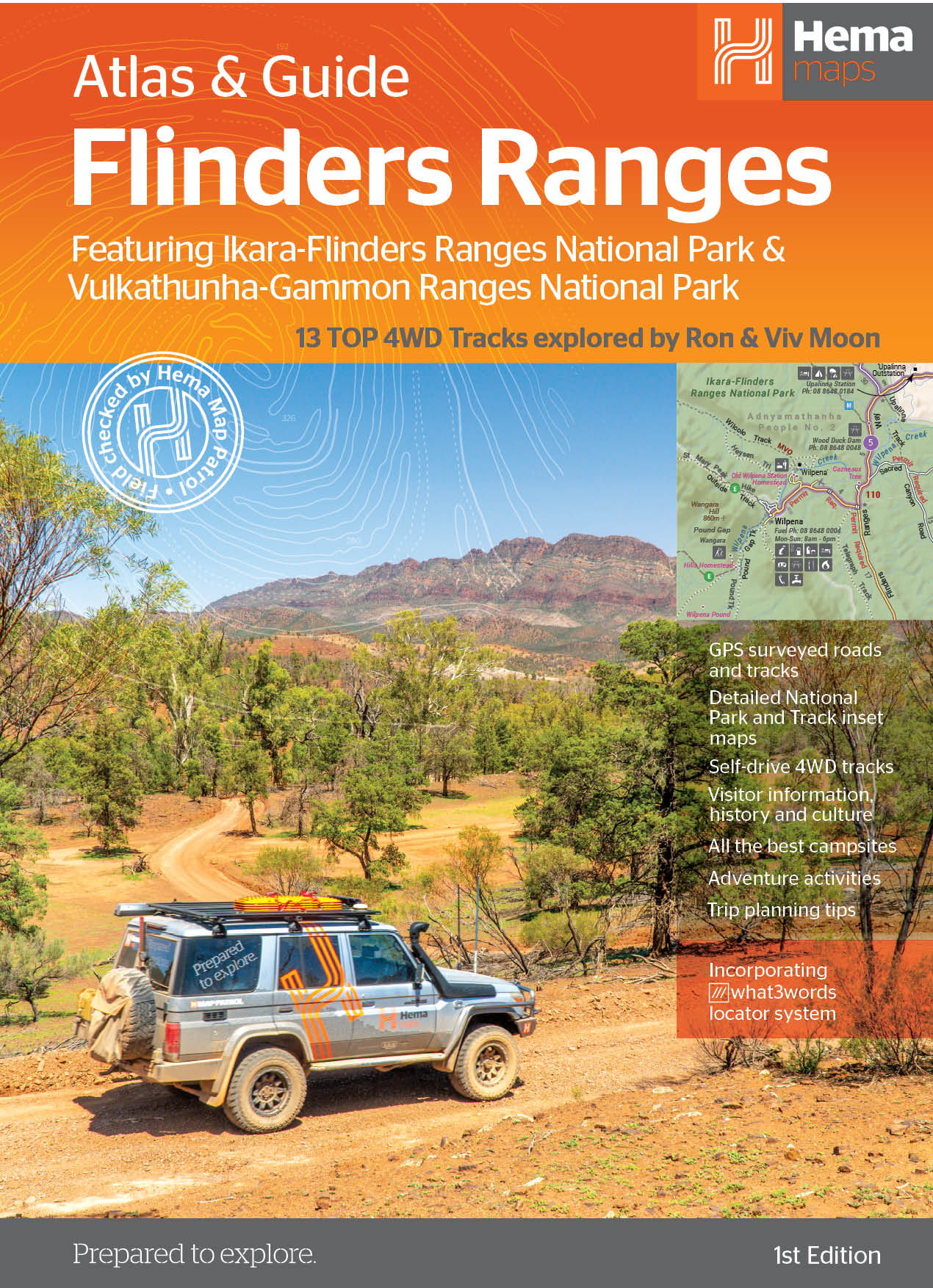
This first edition of Hema’s Flinders Ranges Atlas & Guide features Hema’s distinctive and informative maps, all of which have been field checked by Hema’s Map Patrol to ensure the best possible accuracy with the latest mapping data.
Written and researched by some of the most experienced outback travellers in Australia (including industry doyen, Ron Moon), the guide provides extensive and up-to-date information for the whole of the Flinders Ranges, from its southernmost tip, where it brushes against the waters of the Spencer Gulf, to its northern extremity beyond Arkaroola and the rugged Gammon massif.
Extensive cultural information and stories, along with the low-down on the European exploration and development of the region will ensure that today’s travellers see the country in a new, exciting and enlightened manner.
Comprehensive details to towns, national parks and each and every station property (open to the public) for hiking, cycling, camping, accommodation and four-wheel driving ensures you will have all the information you require for an enjoyable, interesting and exciting foray to these spectacular ranges.
The book includes 13 of Hema’s favourite 4WD tracks in the region that stretch from the rolling southern ranges to the much more remote and rugged northern extremities of the mountain vastness.
Lavishly illustrated with magical photographs recorded by the Hema team, this guide will inspire and motivate travellers to visit the region, whether for the first time or for the twentieth time.
This easy to use guidebook will take the difficulty out of planning a trip to this magnificent area and there is no better time to start planning that trip than now.
Key Features
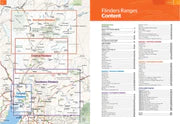
- Detailed atlas (20 pages) covering the whole region in 1:400 000 scale
- Hema’s 13 top 4WD tracks of the region with inset maps. Fully field checked by Hema’s Map Patrol
- Walking and Cycling info and trails
- Accommodation and the best campsites
- Cultural & historical information
- When to go and how to prepare.
Key Specifications
Edition: 1st, Publication Date: 15/02/21, Number of Pages: 208 (spiral bound), Height: 297mm, Width: 215mm, Depth: 15mm, Weight: 0.955kg
WHY WE LOVE HEMA MAPS...
Hema Maps is an Australian based mapping and publishing company that was founded in 1983. The company has expanded purposefully to the point where today it has comprehensive Australia and overseas map coverage in a variety of forms including folded maps, atlases, guides and digital products such as apps and dedicated GPS navigation systems.
With a keen focus on off-road touring, Hema Maps has steadily built its reputation as masterful map makers in the four-wheel driving and outdoor adventure industries. This reputation has come to the fore thanks to the company’s relentless pursuit of accurate cartographic detail relevant to outdoor explorers, realised by its unparalleled updating process.
The job of collecting and updating this data falls to field-teams known as the Map Patrol, who are responsible for exploring and mapping the vast array of off-road destinations in Australia to keep Hema Maps’ data accurate and up-to-date. Since 1996, Hema Maps has GPS mapped over 690,000km of tracks and 545,000km of unsealed roads throughout Australia, and will continue to pursue premium quality and accuracy within its product range into the foreseeable future.
You may also like
Sustain, Support & Explore
Eco-Friendly Packaging
Choose the Conron Store for eco-friendly packaging that's kind to the Earth.
Supporting Aussie Brands
We proudly support Aussie brands, nurturing local innovation and quality.
Embracing Outdoor Activities
Join us in spending 2 hours outside, 2 days a week, for a healthier lifestyle.