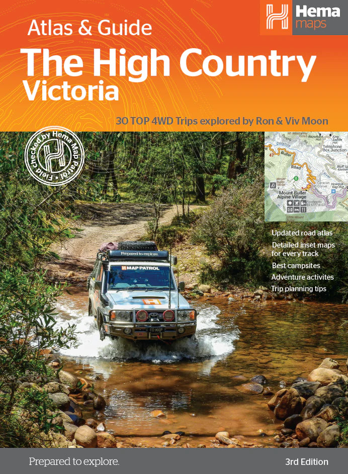


Description
The definitive guidebook for discovering the Victorian High Country, featuring the Top 30 4WD Trips written by Ron and Viv Moon, in combination with topographic atlas mapping for the region.
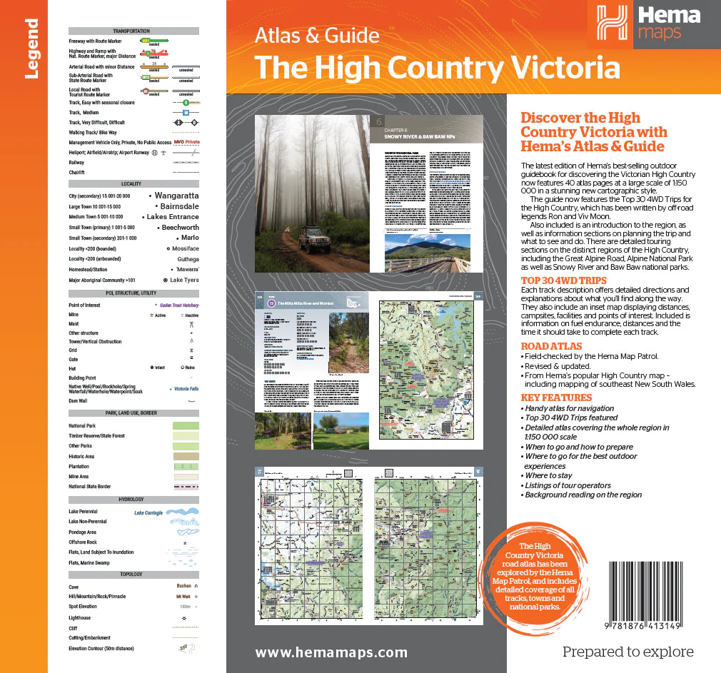
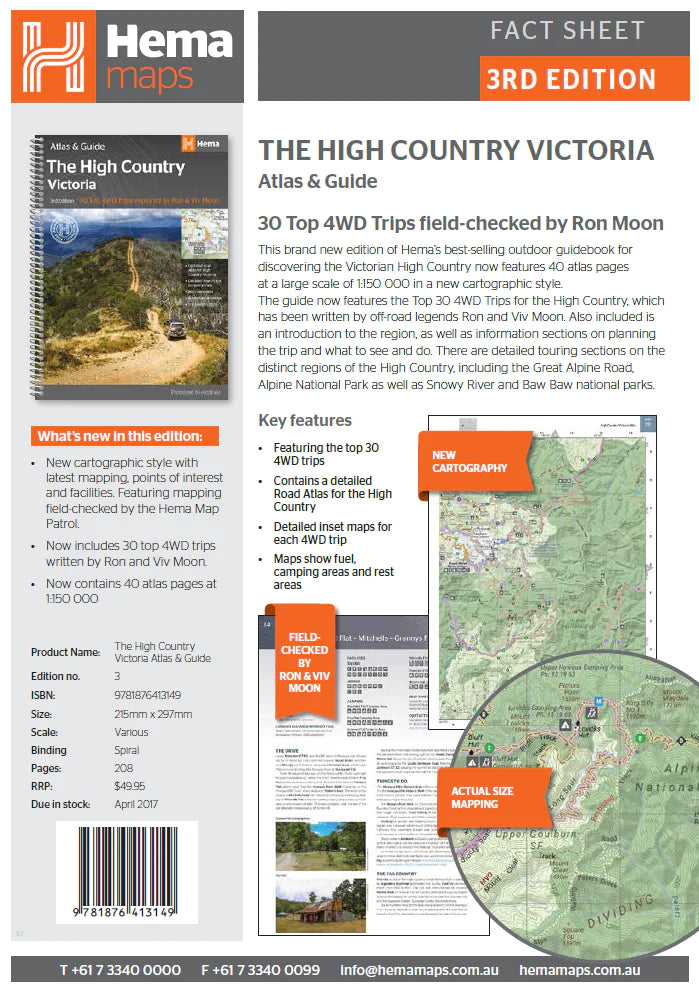
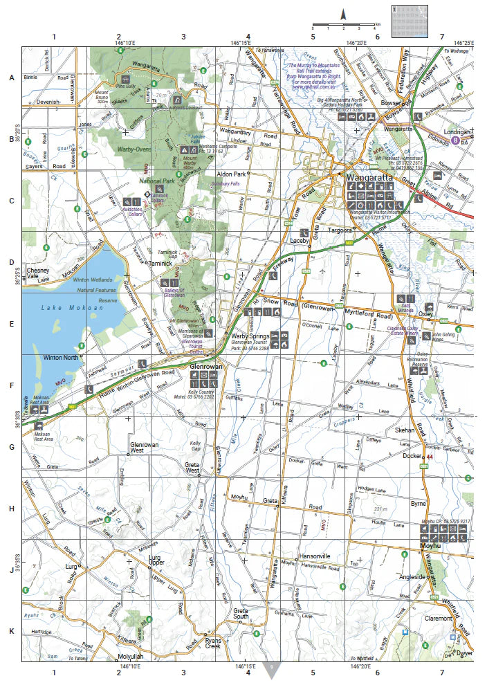
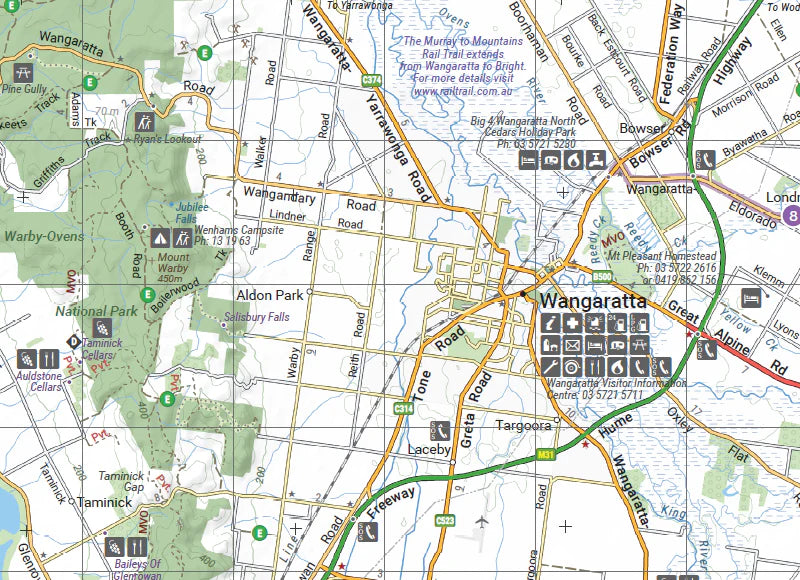
This edition of Hema’s best-selling outdoor guidebook for discovering the Victorian High Country now features 40 atlas pages at a large scale of 1:150 000 in a stunning new cartographic style. The guide now features the Top 30 4WD Trips for the High Country, which has been written by off-road legends Ron and Viv Moon. Also included is an introduction to the region, as well as information sections on planning the trip and what to see and do. There are detailed touring sections on the distinct regions of the High Country, including the Great Alpine Road, Alpine National Park as well as Snowy River and Baw Baw national parks. The Top 30 4WD Trips are broken into their respective localities, with each trip containing comprehensive trip information including gradings, distances, relevant travel information and drive coverage from start to finish.
This guide includes the Victorian High Countries' most iconic tracks such as:
- Wonnangatta (Zeka Spur)
- Billy Goat Bluff
- Ingeegoodbee Track
- Mount Pinnibar
- Blue Rag Range Track
Key Features
- 40 atlas pages at a scale of 1:150 000
- Top 30 4WD Trips
- Best campsites
- Adventure activities
- Trip planning tips
Key Specifications
Edition: 3rd, Publication Date: 1/04/17, Number of Pages: 208, Height: 297mm, Width: 215mm, Depth: 15mm, Weight: 0.955kg
WHY WE LOVE HEMA MAPS...
Hema Maps is an Australian based mapping and publishing company that was founded in 1983. The company has expanded purposefully to the point where today it has comprehensive Australia and overseas map coverage in a variety of forms including folded maps, atlases, guides and digital products such as apps and dedicated GPS navigation systems.
With a keen focus on off-road touring, Hema Maps has steadily built its reputation as masterful map makers in the four-wheel driving and outdoor adventure industries. This reputation has come to the fore thanks to the company’s relentless pursuit of accurate cartographic detail relevant to outdoor explorers, realised by its unparalleled updating process.
The job of collecting and updating this data falls to field-teams known as the Map Patrol, who are responsible for exploring and mapping the vast array of off-road destinations in Australia to keep Hema Maps’ data accurate and up-to-date. Since 1996, Hema Maps has GPS mapped over 690,000km of tracks and 545,000km of unsealed roads throughout Australia, and will continue to pursue premium quality and accuracy within its product range into the foreseeable future.
You may also like
Sustain, Support & Explore
Eco-Friendly Packaging
Choose the Conron Store for eco-friendly packaging that's kind to the Earth.
Supporting Aussie Brands
We proudly support Aussie brands, nurturing local innovation and quality.
Embracing Outdoor Activities
Join us in spending 2 hours outside, 2 days a week, for a healthier lifestyle.